In this interview, we spoke to Rim Elijah, VP of sales at EOS Data Analytics, about their agricultural technology and how it is helping to create a more sustainable Earth.
Please could you introduce yourself, tell us about your role at EOS Data Analytics (EOSDA), and your background in agriculture.
I’m the VP of Sales at EOS Data Analytics (EOSDA). I mostly work with global partners coming from financial institutions, governmental entities, and national organizations to implement various agriculture and forestry services.
Having joined the company in early 2020, I have managed to establish a number of strategic partnerships in Africa, Asia, and NA with an emphasis on delivering sustainable solutions to over five million farmers. I am also currently involved in the upcoming launch of the first agri-based satellite constellation by EOSDA, scheduled for launch in mid-2022.
I have a double degree in business administration and political science from Stockholm University and given that my background in agriculture was pretty limited when I joined the company, I had to dive pretty quickly into the agricultural domain and learn a lot about various projects from crop classification, yield prediction to field monitoring, and overall how satellite data could benefit various farming activities. So, working at the company has provided me with the experience needed to know more about the agricultural sector.
Can you give an overview of EOSDA and what your mission is?
EOS Data Analytics is a trusted global provider of AI-powered satellite imagery analytics. The company operates worldwide, partnering with governmental, commercial, and scientific organizations. The scope of the company’s technologies embraces Earth observation solutions for smart decision-making in 22 industries, including agriculture, mining, oil, and military. With this, EOSDA reveals the emerging challenges of the planet beforehand.
Our main product in the agriculture industry is EOS Crop Monitoring, an online satellite field monitoring service that collects all the important information about the state of crops in one tool.
In July 2021, we launched EOS Forest Monitoring, online satellite-based software for convenient and sustainable forest land management.
EOSDA’s mission is to unite people of the same mindset, share access to new knowledge, stimulate progress, and preserve the pure potentiality of the Earth for the benefit of humankind.
The company's business model is to develop simple and understandable end products for various industries based on complex algorithms and data processing models, including satellite, terrestrial, and other available data.
EOS Data Analytics
You have solutions for smart-decision making in 22 industries, including agriculture, oil and gas, military, and minerals, and mining. Why is it important to understand emerging challenges these different industries face, especially in times of uncertainty, such as the ongoing COVID-19 pandemic and climate change?
We see the effects of COVID-19 in almost every industry, and agriculture is no different. In Africa, the income of smallholder farmers has significantly decreased due to the demand drop caused mostly by social distancing, shortened business hours, and travel restrictions.
This unfavorable situation worsened with increased household expenses and rising prices for agricultural inputs that eventually led to a decline in planting. To sustain their farms, owners have to provide the best conditions for crops, paying close attention to seeds quality, vegetation state, and rational use of fertilizers and pesticides. The pandemic revealed the necessity of digital tools to help growers maintain their crops.
The space industry, which is growing every year, has great importance in providing valuable insights not only for the agricultural sector but also for the other industries on which EOSDA is focusing. For example, we launched a new product for forestry this year, and we are thinking of expanding into other emerging markets such as oil and gas and others. With the rise of space technologies, we can acquire information from space and make more weighed data-driven decisions.
Please could you tell us about your involvement in agriculture? What are some of the emerging problems faced by this industry?
The biggest challenge for us is introducing the high-tech agricultural solution to farmers who may not know how to use digital technologies in farming and interpret the results. We can simplify the data derived from the EOS Data Analytics platforms to ensure that farmers can understand and utilize it for proper decision-making. Landowners need these advisory services, and this is where the ultimate value is.
Regarding the agricultural sector in Asia (India and Malaysia), the high cloudiness in these regions may be an issue. Unfortunately, satellite imagery on cloudy days will be of no value. Due to cloud coverage, it makes it very difficult for these companies to duly appreciate satellite technology and make the best out of it. That’s another challenge in the earth observation solutions in agriculture.
With this being said, we understand why some clients could be hesitant towards utilizing agricultural technology. Therefore, we need to present our solution as the one that can combat challenges like clouds or monitor small fields using the existing satellites.
We have identified the gaps which the market is missing, and we've been working closely with the satellite industry’s scientists and experts to eliminate these bottlenecks. I will be disclosing our unique EOSDA solution shortly during this interview.
Your main product within the agricultural industry is your EOS Crop Monitoring service. How does this software work?
EOS Crop Monitoring is an online satellite field monitoring service for precision agriculture. The software integrates large amounts of crucial information about the state of crops on one platform, making field management much easier and less time-consuming.
Using Sentinel 2 satellite imagery, the software makes it possible to extract insights from multiple types of remote sensing data, like vegetation indices, crop rotation history, soil moisture, weather data on a scale of a field, region, or country, and more. Upon request, users can get crop type classification maps, crop yield forecasts, field boundaries delineation, and a host of other add-ons.
We operate in near-real-time, allowing for timely detection of crop issues and constant updates on the state of crops via regular monitoring of every field.
Enhanced satellite-driven scouting allows for precise problem area detection, guiding scouts, saving their time and efforts. Field owners can set scout tasks online using satellite maps, while the platform automatically notifies the assignee. Scouts can work in the fields using the app’s app’s mobile version even without an internet connection, thanks to the offline mode, adding threats to snapshots of stressed crops to the reports.
Also, high-resolution images are available on EOS Crop Monitoring. Subscribed users can get access by purchasing this add-on in the platform marketplace.
What are some of the benefits of using this precision farming software compared to traditional crop monitoring systems used?
The sad truth is that traditional agricultural approaches lead to excessive waste of natural resources that negatively affect the environment.
Moreover, traditional farming can hardly satisfy increasing global food demand and is not cost-effective. In a search for profitable and sustainable solutions, scientists work on implementing innovative technologies in agriculture to help farmers and various industries cope with crop growing issues more effectively. Leveraging satellite imagery analytics enables agrarians to make data-driven decisions in field management, such as the application of fertilizers, sufficient irrigation, or timely weed detection.
How will your EOS Crop Monitoring service also help to improve sustainability on Earth?
Satellite monitoring is probably the most cost-effective and convenient remote sensing solution for those farmers who want their production to be both profitable and environmentally friendly.
Having close-to-real-time data about crop conditions, landowners can reduce costs on the transport used for field maintenance and calculate the necessary amount of fertilizers more precisely. Consequently, with fewer vehicles, there will be less toxic emissions in the atmosphere, and the reduction of chemical applications will prevent soil degradation and water pollution.

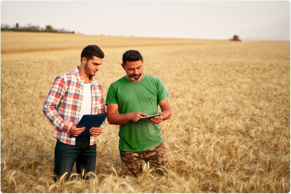
Image Credit: Artie Medvedev/Shutterstock.com
You have also recently launched EOS Forest Monitoring to help create sustainable forest land management. How does this new software do this, and how does it work?
This satellite-based solution enables forestry stakeholders to monitor forest health remotely, get notified about changes and risks, manage all their forest stands in one place, and predict forestry logging, transportation, and storage costs.
Just like in EOS Crop Monitoring, we use Sentinel 2 satellite imagery, and then the software starts to extract insights.
What are these insights?
-
Remote monitoring of forest cover and regular change detection.
-
Deforestation satellite monitoring within individual forest stands.
-
Forest fire management based on NASA FIRMS thermal anomalies detection technology with the timely high-temperature alert system.
-
Monitoring moisture content in plants and reducing disease risks and forest fire hazards with Water Stress reports.
-
Reliable 14-day weather forecast for a 9 by 9 km (approx. 5.6 by 5.6 mi) area.
-
Notification system to stay aware of any changes in deforestation, forest productivity, and water stress.
The service was created for convenient and sustainable forest land management.
How important of a role does technology and satellite imaging play within agriculture, and how do you see this role changing over the next ten years?
Agriculture is a major economic sector, with food and agritech constituting trillions of dollars globally. This number will only keep increasing because of the ongoing rise of the world’s population, in parallel. Since we need to meet this upcoming colossal demand, companies like ours are always looking for innovations to improve life quality and adopt suitable measures to meet shortages.
Twenty years ago, the world did not know that we could use satellites to monitor agriculture. Ten years ago, this was made possible. Ten years from now, I can only foresee this kind of technology being implemented on a massive scale. The industries nowadays are finally beginning to understand the benefits of this data and how it could help with executing policy decisions for import, export, transportation requirements, insurance, etc.
What do you see the future of agriculture to look like?
I do foresee a complete digitization model of the agriculture sector, where everybody is interconnected, with sustainability being the backbone of this entire structure.
Automation will also play a key role in making sure the demand is being met by the growing population. This will make it easier to ensure the delivery of food and grains right down to people’s tables. Also, this will help standardize high-quality products, ensuring their repeatable production all year round.
Do you believe that we can help reduce the threat of climate change and work towards a more sustainable Earth with better precision agricultural software and technology?
The impact agriculture makes on climate can not be underestimated. One of the most critical effects of industrial agriculture is the emission of greenhouse gas such as carbon dioxide. It leads to global warming with its devastating consequences like, for example, long periods of droughts in Africa and soil degradation as a result.
Among other damaging agriculture’s footprints are deforestation, water pollution, and loss of biodiversity. However, all these harmful changes can be diminished with innovative technologies used in precision farming.

Image Credit: metamorworks/Shutterstock.com
Have you got any exciting projects up and coming at EOS Data Analytics? If so, what are they?
Now we are working on an ambitious large-scale project. EOS Data Analytics will launch seven optical EOS AgriSat satellites into a Low Earth orbit by 2025. The first satellite is projected to launch in mid-2022. By launching our own satellite imaging constellation, we aim to establish a full satellite data production vertical – from direct imagery collection to processing, analysis, and delivery.
One of the key objectives of the new satellite constellation will be monitoring farmlands, making this constellation the first of its kind oriented towards agriculture.
The new satellites will enable EOSDA to significantly increase remote sensing data accuracy and reliability. This improvement may urge agricultural companies to move towards precision farming and support environmental protection along with being profitable. Moreover, this constellation will help us eliminate those gaps and threats which we discussed earlier in the interview.
Moreover, we have far-going plans regarding global strategic partnerships growth. Partnerships open up many hidden opportunities as it’s always easier to work with a partner in a country that we have never operated in before. We believe local representatives will help us better understand the domestic agricultural market and the needs of farmers so that we can customize our solutions to their needs.
Our strategic goal is to have as many partners as possible to grow trust and credibility with EOS Data Analytics. Besides our intent to expand EOSDA’s global presence, we aim at forming strategic alliances with large market players for our satellite constellation project development.
Where can readers find more information?
-
To find out more about EOS Data Analytics, visit eos.com and follow us on Twitter, LinkedIn, Instagram, and Facebook.
-
To learn more about EOS Forest Monitoring, visit https://eos.com/products/forest-monitoring/. Follow EOS Forest Monitoring on Twitter and Facebook.
-
To learn more about EOS Crop Monitoring, visit https://eos.com/products/crop-monitoring/. Follow EOS Crop Monitoring on Twitter and Facebook.
About Rim Elijah
As VP of Sales, I am responsible for ensuring EOS Data Analytics business goals are being met, and strategies are aligned with the market’s demands. I supervise our business division to ensure smooth delivery of our products to our growing network of clients. Also, planning, reporting to setting quotas internally, and managing processes internally are among my key responsibilities.
I believe one of my career highlights, especially within EOSDA, is managing to have established a strong partnership program that has proven to be quite successful in attracting large-scale partners. Thanks to this, our presence is growing, especially in regions like Africa, where the need for this technology has proven to be of utmost importance.