Technology has revolutionized the way we produce food. Innovations in remote sensing, artificial intelligence, and imagery have extensively improved the mapping capabilities of agricultural areas, referred to as field mapping. With rapid changes in environmental conditions, such tools are critical to food security in the coming decades.
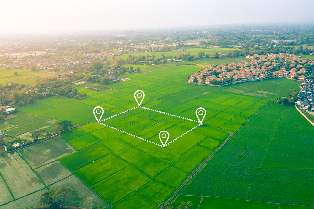
Image Credit: DifferR/Shutterstock.com
Emergence and functions of field mapping in modern agriculture
Recent technological innovations have transformed the way modern agriculture is conducted. From automation to real-time data analysis, innovations have led to better monitoring and management practices, leading to higher crop production and quality. Additionally, technological advancements have allowed for increased precision in fertilization and soil management, leading to improved sustainability and environmental protection.
Within the wide range of recent transformations, field mapping is a discipline that holds considerable potential. Field mapping refers to mapping agricultural lands with origins dating back to agricultural history. Archaeological findings discussed by David Hall indicate medieval farmers were particularly adept at field mapping, as it was used to organize and project areas for cultivation throughout medieval Europe.
For modern agriculture, the use of field mapping technology is closely associated with precision agriculture and is increasingly becoming an essential tool for crop production and land management. Field mapping allows for more precise and accurate data collection about a field's physical features and helps farmers maximize their yields. With this technology, farmers can identify soil types and track changes over time to better understand effective management strategies and identify potential problems or areas of improvement.
Current applications for field mapping are presented in a study by Shafi et al. (2019). The authors survey the methods used in precision agriculture, which includes field mapping, ranging from wireless sensors and metrics to environmental indicators, before proposing a web-based solution to monitor crop health more effectively using field mapping technologies. The study demonstrates the wide range of tools available to improve field mapping and how automation and internet-based innovations are rapidly accelerating.
However, although field mapping remains a cornerstone of modern agriculture, authors also present the challenges facing stakeholders as well as the discipline itself in the coming years. Addressing these limitations is critical to upholding food security in a world experiencing rapid environmental change and therefore represent significant challenges for future progress.
Limitations facing agricultural field mapping and potential solutions
The study by Shafi et al., published in 2019, presents several challenges associated with field mapping as well as precision agriculture. These issues range from the elevated financial costs of installation, training, and maintenance to weather variations that may confound the accuracy of data collection due to imaging interference or contamination by cloud cover or noise.
As a result of financial expenses and a necessity for training with certain field mapping technologies, a disparity between stakeholders may emerge. With the occurrence of global climate change, this disparity may render those without the ability the secure funding or training more susceptible to crop losses. Therefore, more recent innovations have focused on making affordable, intuitive, and widely available technologies for stakeholders regardless of region or financial capacity.
For instance, although it is computational, the use of Geographic Information Systems (GIS) has many mobile applications (e.g., Map Right) that integrate data and map fields within different environments rapidly. Other systems, mainly focusing on precision agriculture, have begun using multi-sensor data on varying spatial and temporal scales to avoid interference. Specifically, the combination of cheap environmental sensors alongside publicly available remote sensing data has allowed for considerably more knowledge-based information to be available.
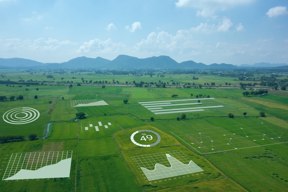
Image Credit: MONOPOLY919/Shutterstock.com
The prospects of agricultural field mapping
Technological advances will make tools such as sensors more affordable over time, which will make field mapping more accessible and more effective. Specifically, greater capacities to collect data will make predictive algorithms more effective, generating more accurate spatiotemporal estimates that can be used to offset impacts such as ones incurred from environmental change or pests. As a result, field mapping plays a role in the broader mission of maintaining food security worldwide.
Not only are technologies involved in field mapping improving, but new technologies are consistently being developed. In a 2019 paper, Hassler et al. reviewed the agricultural applications of Unmanned Aircraft Systems (UAVs) and their significance. As discussed in the review, the primary use of UAVs is to develop images and associated sensory data used for various tasks.
Field mapping directly benefits from improved UAV technology, which has become increasingly popular in recent years. Cheap and reliable UAVs combining multispectral, hyperspectral, near-infra-red, and multi-layering imagery can now be obtained and used with little to no training. The data can be processed to inform key management decisions ranging from crop water intake to pesticide usage, risk of crop losses, and many other critical elements.
The combination of technologies also offers promising opportunities to improve the accuracy, precision, and effectiveness of field mapping tools, as discussed in a 2020 study by Saiz-Rubio et al. From the use of web-based data storage to machine learning algorithms integrated into UAVs and mobile applications, field mapping is becoming increasingly automated whilst maintaining its effectiveness. As environmental conditions are predicted to change rapidly in the coming decades, such technologies will prove valuable to mitigate the predicted socioeconomic and ecological repercussions.
Sources:
- Hassler, S. C., & Baysal-Gurel, F. (2019). Unmanned Aircraft System (UAS) Technology and Applications in Agriculture. Agronomy, 9(10), 618. https://doi.org/10.3390/agronomy9100618
- Nash, A. (2020, November 10). Field Mapping Agriculture Practices With GIS. MapRight. Retrieved January 11, 2023, from https://www.mapright.com/field-mapping-agriculture/
- Rowley, T. (2020). The Origins of Open Field Agriculture. Routledge. Saiz-Rubio, V., & Rovira-Más, F. (2020). From Smart Farming towards Agriculture 5.0: A Review on Crop Data Management. Agronomy, 10(2), 207. https://doi.org/10.3390/agronomy10020207
- Shafi, U., Mumtaz, R., García-Nieto, J., Hassan, S. A., Zaidi, S. A. R., & Iqbal, N. (2019). Precision Agriculture Techniques and Practices: From Considerations to Applications. Sensors, 19(17), 3796. https://doi.org/10.3390/s19173796
Further Reading
Last Updated: Nov 4, 2024